House Demolition in Wamberal
In Wamberal, check Council's coastal frontage map before planning a beachfront knock-down. The map shades the Wamberal Beach lots north of the Terrigal Lagoon entrance as potentially affected by coastal inundation, and in a coastal hazard area Council won't permit an existing building to be redeveloped unless its foundation design is shown to withstand coastal processes and certified by a coastal and structural engineer.
Thanks — we have your enquiry. Someone will be in touch shortly. Prefer to talk now? Call (02) 4313 3101.
House Demolition around Wamberal
That makes the demolition the first step of an engineering project. Council's coastal chapter wants new development landward of the coastal building line, a specialist coastal engineering report that for Wamberal Beach must apply the Alternate Empirical Approach of Watson, 2006, and a geotechnical report on the sub-strata and the foundations required, and proponents are generally required to register a dealing on the title such as a positive covenant. Complying development generally isn't available in the coastal vulnerability area, so the rebuild goes to a development application.
Protection of the beach is also unresolved. Council's page records that the regional planning panel refused the three Wamberal seawall applications on 26 June 2026, and that Council lodged an updated application for sand nourishment backed by a sloping rock revetment with the NSW Reconstruction Authority on 23 July 2026. The chapter gives standard setbacks behind a seawall only once an approved one has been built, and none has been.
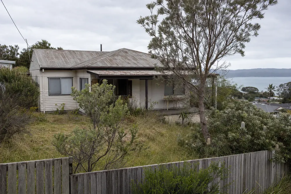
Permits and Central Coast Council rules
Council's page also records storms in 2016 exposing rock and building rubble placed in the Wamberal dunes as ad hoc protection in the 1970s. A demolition or site cut behind the dune may turn up material like that, which then has to be handled and disposed of as waste, so tell the provider if the lot is on the beachfront. Whether a particular lot is in a coastal hazard area is answered through Council's coastal hazard enquiry, not by a map on a website.
Source: Central Coast DCP 2022 Chapter 3.2 (Coastal Hazard Management) Part C and its Southern Area coastal frontage mapping; Central Coast Council, Coastal Erosion - Wamberal Beach — confirm current requirements with Central Coast Council.
Our Wamberal service area
A Wamberal enquiry is referred to an independent local provider, who contacts you to inspect the house.
See all House Demolition on the Central Coast. We also work in Avoca Beach, down the coast, where the frontage is mapped too.
Call (02) 4313 3101Last reviewed · Updated · First published